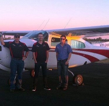
Experienced pilots and technicians
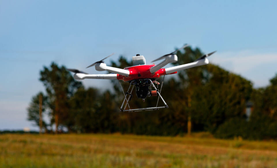
Utilising cutting-edge equipment and technologies
Surveys tailored to customer specifications
Delivering timely and efficient service
Meticulous in-house data processing
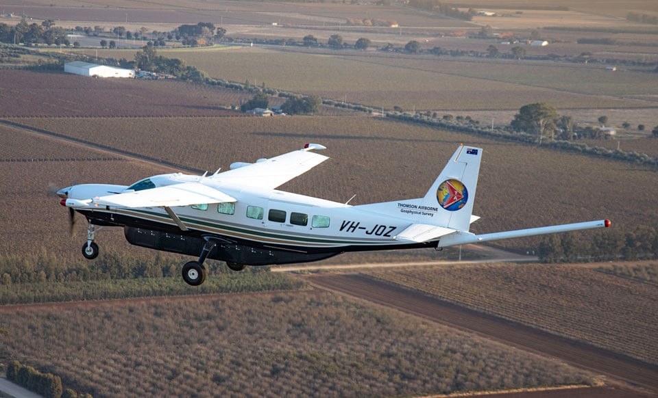
Diverse selection of aircraft available
Worldwide deployment